
20 May 2020, Kathmandu
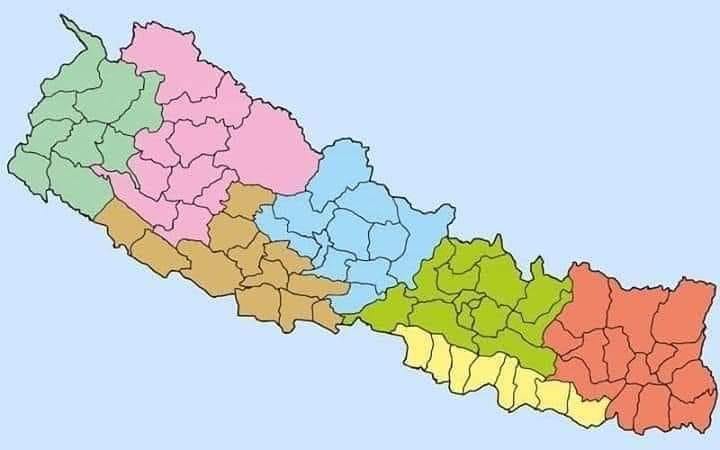
The government today released an updated political and administrative map of Nepal.
The cabinet had earlier this week endorsed the updated map that includes the contested lands – Limpiyadhura, Lipu Lekh and Kalapani in the country.
Minister for Land Management Padma Aryal released the updated map at a program on Wednesday at a time when Nepal and India have been claiming that the region belongs to them.
With the issuance of the new map, Nepal’s territorial area has increased by 335-square kilometers.
Minister Aryal had tabled the map at Monday’s Cabinet meeting.
The updated map will now be used in the government’s seal, textbooks, and other administrative works.
The cabinet had endorsed the updated map after India inaugurated a road link via Lipulekh, a territory that Nepal claims to be its territory.
President Bidya Devi Bhandari while presenting the government’s policies and programs at the Federal Parliament last Friday had said that a new political map would soon be issued.
Meanwhile, Indian Army Chief Manoj M Naravane had recently claimed that Kalapani, Limpiyadhura and Pilu Lekh belong to India saying that Nepal had objected to the inauguration of the link road at the ‘behest of someone else’.
The KP Oli-led government was under immense pressure from all walks of life to publish Nepal’s updated political map after India inaugurated the link road via Lipulekh on May 8.