Feb 16, 2018
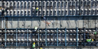
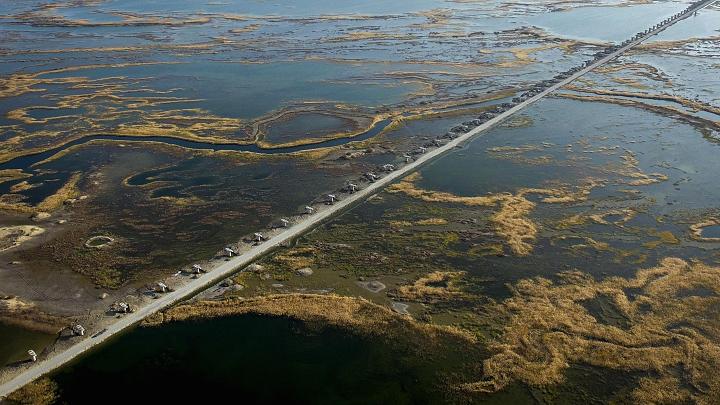
China’s Belt and Road Initiative aims to connect Asia, Europe, the Middle East and Africa with a vast logistics and transport network, using roads, ports, railway tracks, pipelines, airports, transnational electric grids and even fiber optic lines.
Widely seen as an attempt by China to construct a massive, multi-national zone of economic and political influence that has Beijing at its core, the plan at one point included 65 countries, which together accounted for one-third of global GDP and 60 percent of the world’s population, or 4.5 billion people, according to Oxford Economics.
It’s all part of Beijing’s push to increase global clout — building modern infrastructure can attract more investment and trade along the route. The policy could also boost the domestic economy with demand abroad, and might soak up some of the overcapacity in China’s industrial sector.
Assessing Chinese President Xi Jinping’s flagship project, some have expressed optimism about the initiative — while others have concerns about lopsided benefits to China at the expense of partner nations.
Based on recent government releases and outside reports, take a journey along both the overland “Silk Road Economic Belt” and the nautical “21st-Century Maritime Silk Road”: